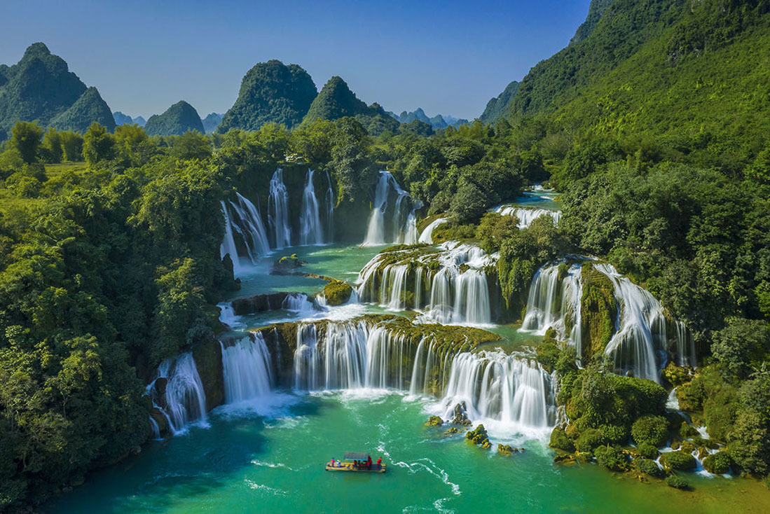
Ha Giang – The northpole of Viet Nam
-
admin_dev
-
January 16, 2023
-
2305
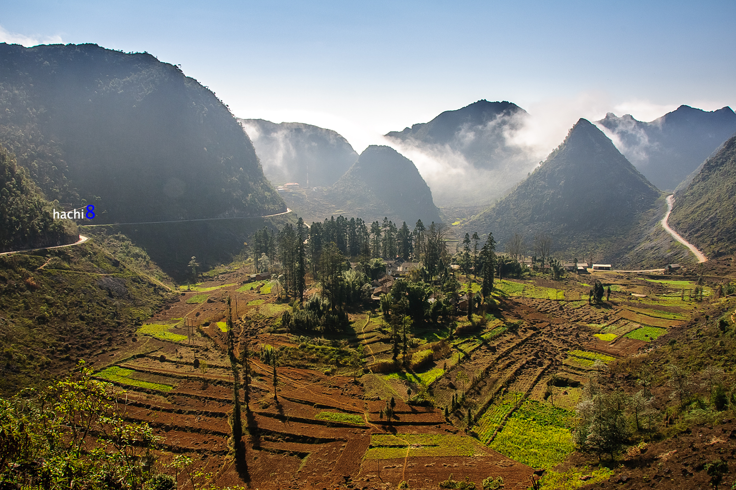
Ha Giang is the North pole point of Viet Nam, it has north border with China. The winding and craggy Ha Giang roads are inherently challenging for drivers. But when you zoom your eyes around, you will have feeling of relaxing and all tension will be blow away due to the beauty of the plateau.
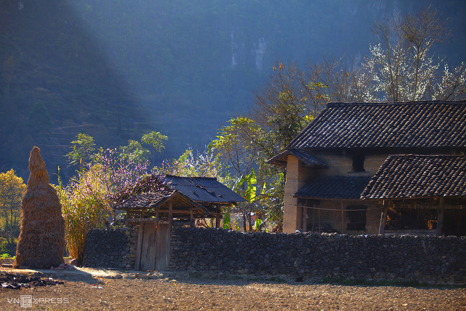
As a mountainous province, the climate in Ha Giang is noticeably cold compared to the lowland and adjacent midlands. The annual average temperature is about 21-23 degrees Celsius. The highlight of the climate is high humidity throughout the year, abundant and prolonged rain.
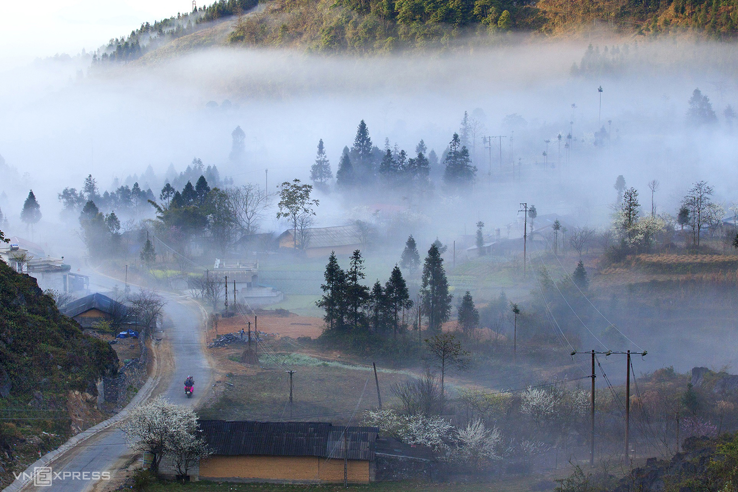
In spring, apricot flowers and plum blossoms bloom in the forest, making you feel like you’re floating in the clouds.
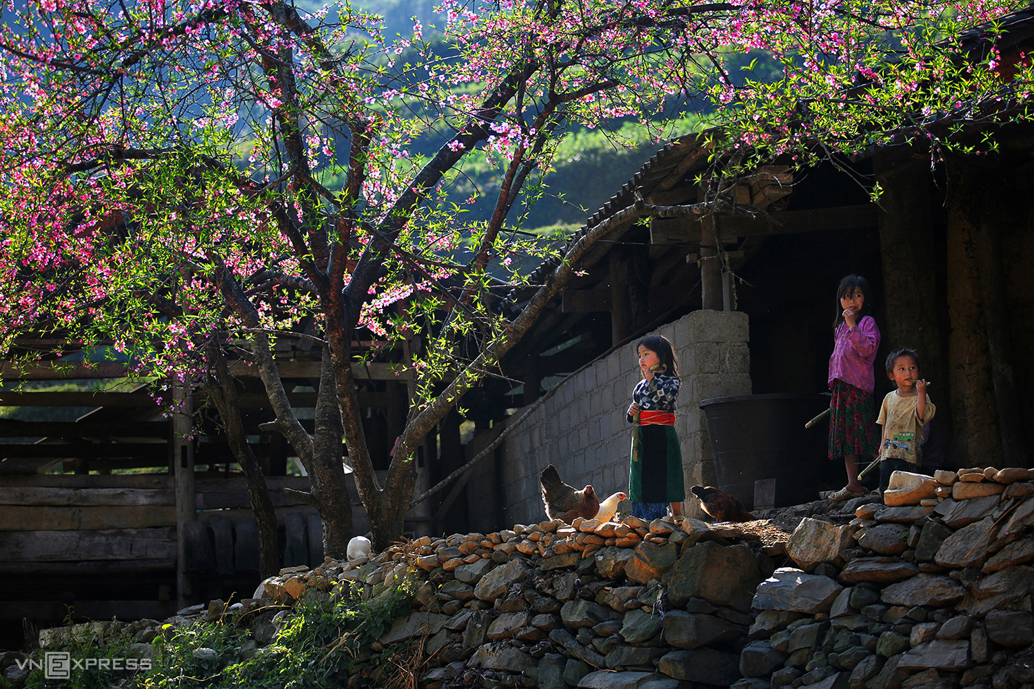
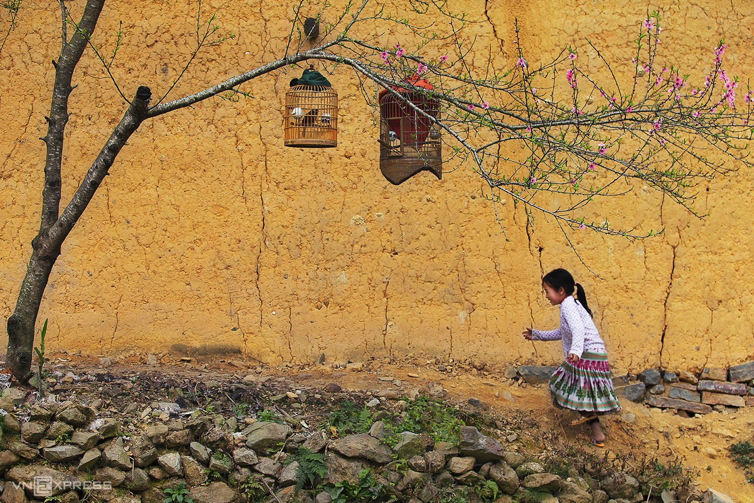
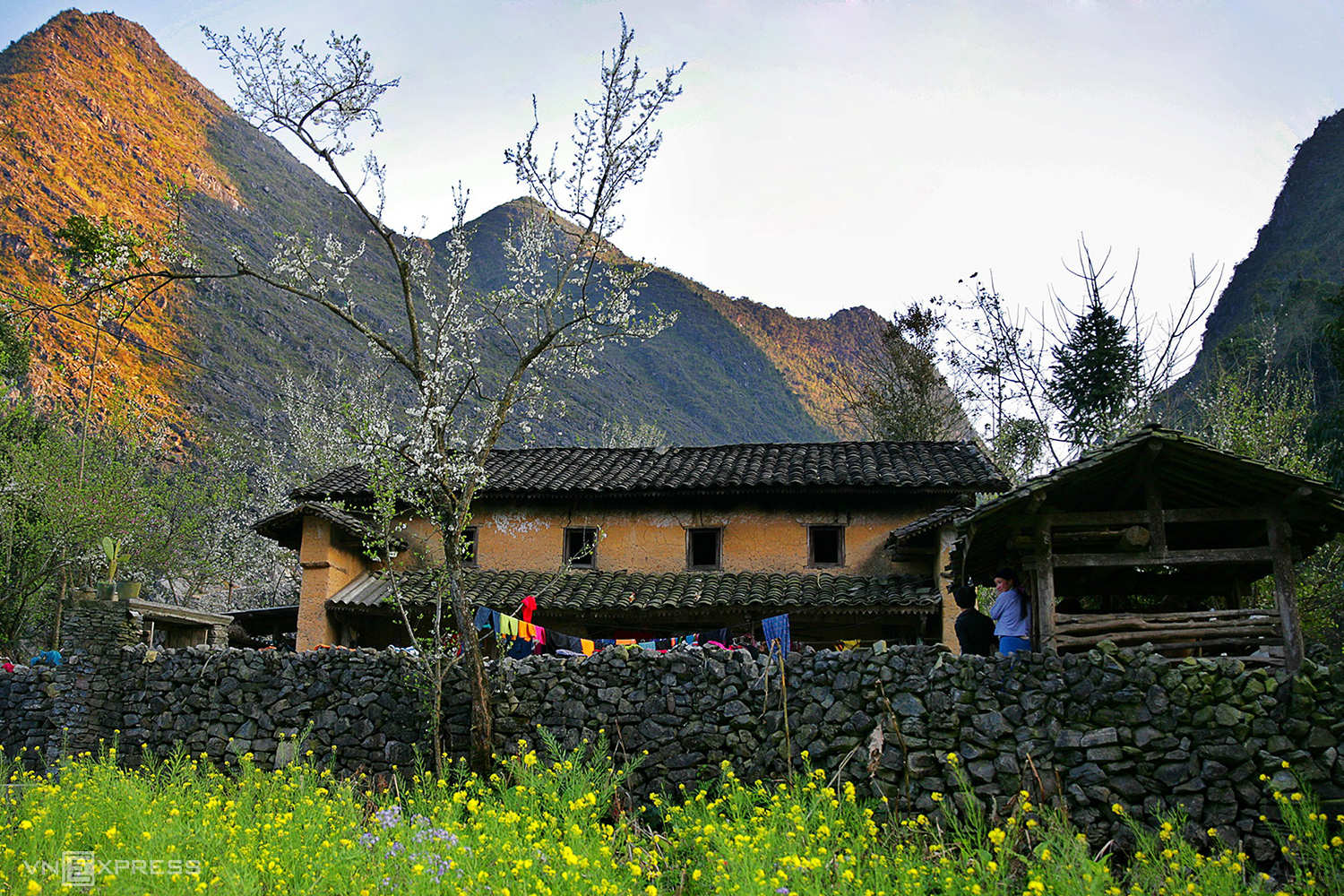
A corner of spring in Ha Giang
In May, the fields sparkle in the pouring water season. In June and July, many people miss Ha Giang because of the sudden summer rains. But also thanks to this humidity, the mountains here put on a green color that captivates people.
You can travel to Ha Giang in any season of the year. People often come to Ha Giang in the autumn when the rice is ripe.
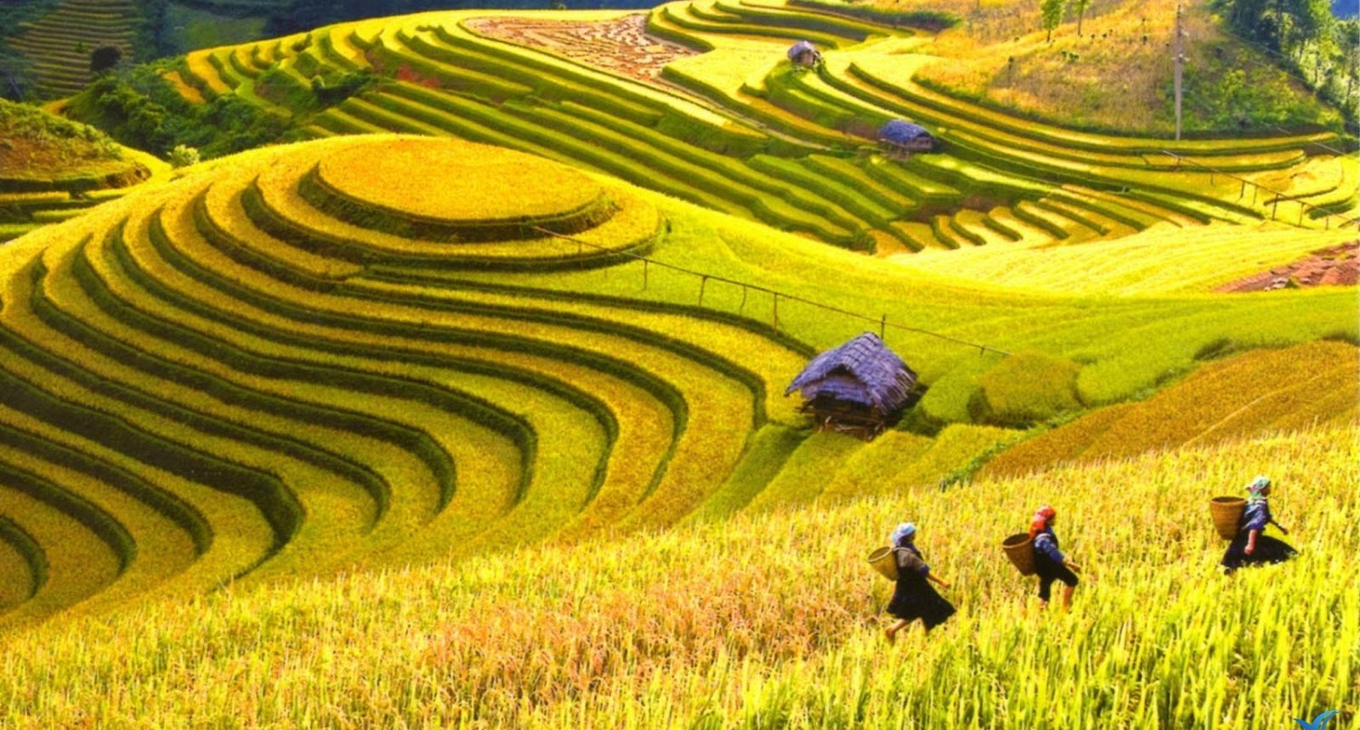
The most beautiful time is October, November and December, when buckwheat flowers or cabbage fields are in full bloom.


Buckwheat flower in Ha Giang
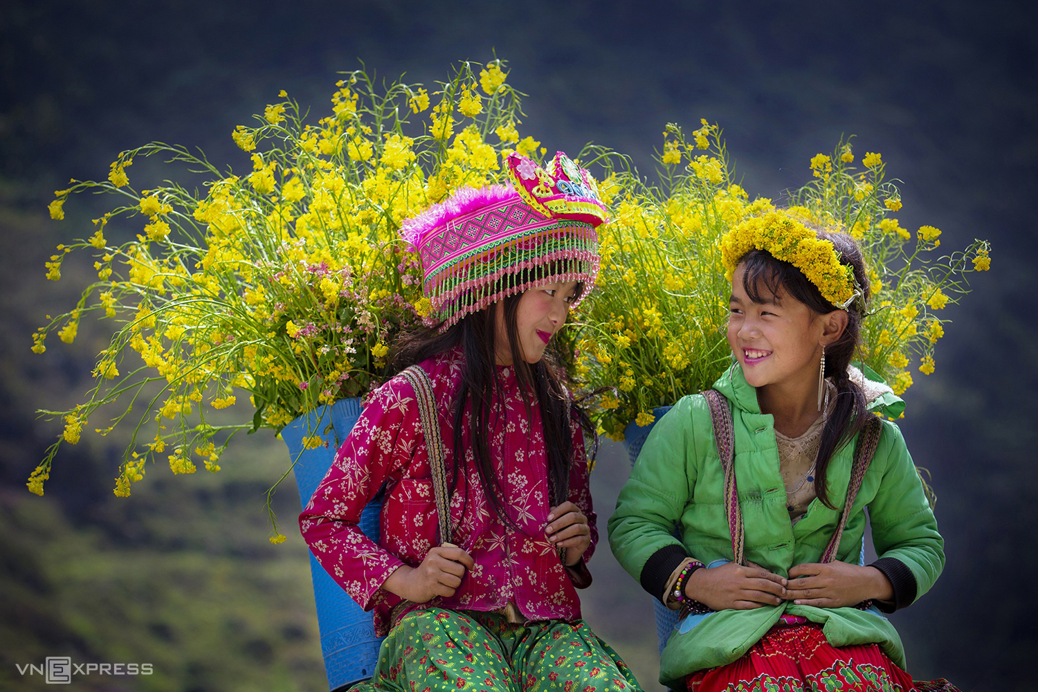
Ethnic minority girls with canola flowers
Beauty Spots of Ha Giang
Heaven Gate of Quan Ba
From the city, the first point is the milestone Km 0, then move to Quan Ba about 40 km. There is a sky gate which is a famous check-in point where the sky and the eath meets. If you go there in winter, there is a possibility of thick clouds. If the weather is clear, you can take pictures, watching the fields below.
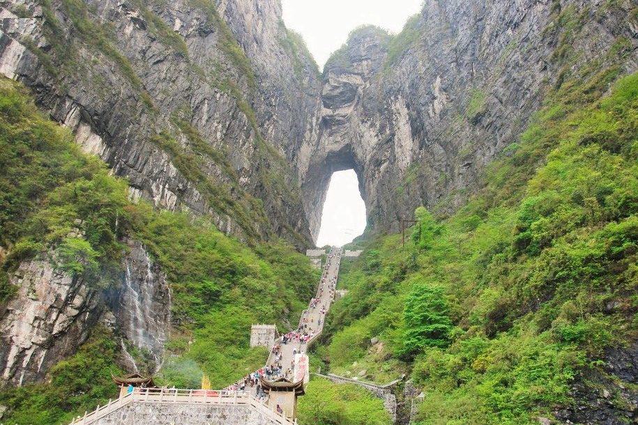
Heaven Gate of Quan Ba – Ha Giang
From here, you can look down the Nam Dam lake, in Nam Dam village. It is a famous homestay village Dao minoritity people in Quan Ba. In addition to the heaven gate, you can also visit the Co Tien Twin Mountain which is not far away.
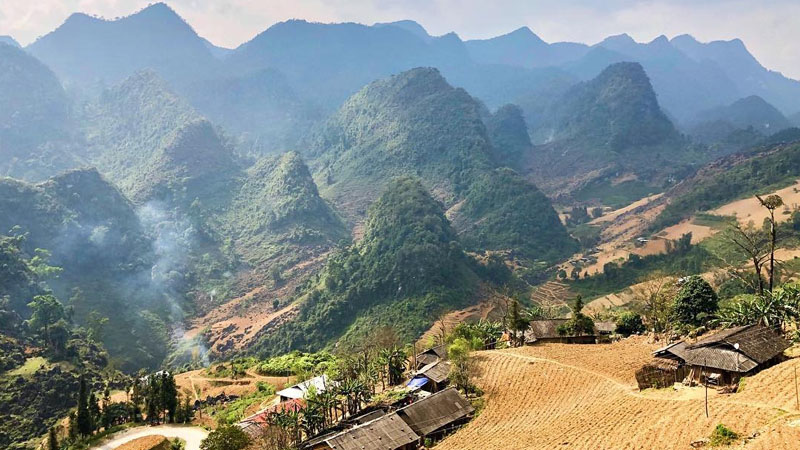
Yen Minh Town
Overcoming steep slopes, strugling around the mountainside, you will arrive Yen Minh town – the district center emerges in the middle of a valley surrounded by towering mountains like high-rise buildings. Right at the gate entering the town is the Community Culture and Tourism Village in Buc Ban village with dozens of ancient stilt-houses the Tay and Giay people, which have been tinged with the time, attracting a lot of visitors. In the middle of the village is a rice field with rows of bamboo growing along a cool stream, with water flowing all year round, creating a peaceful scene of a Vietnamese village.
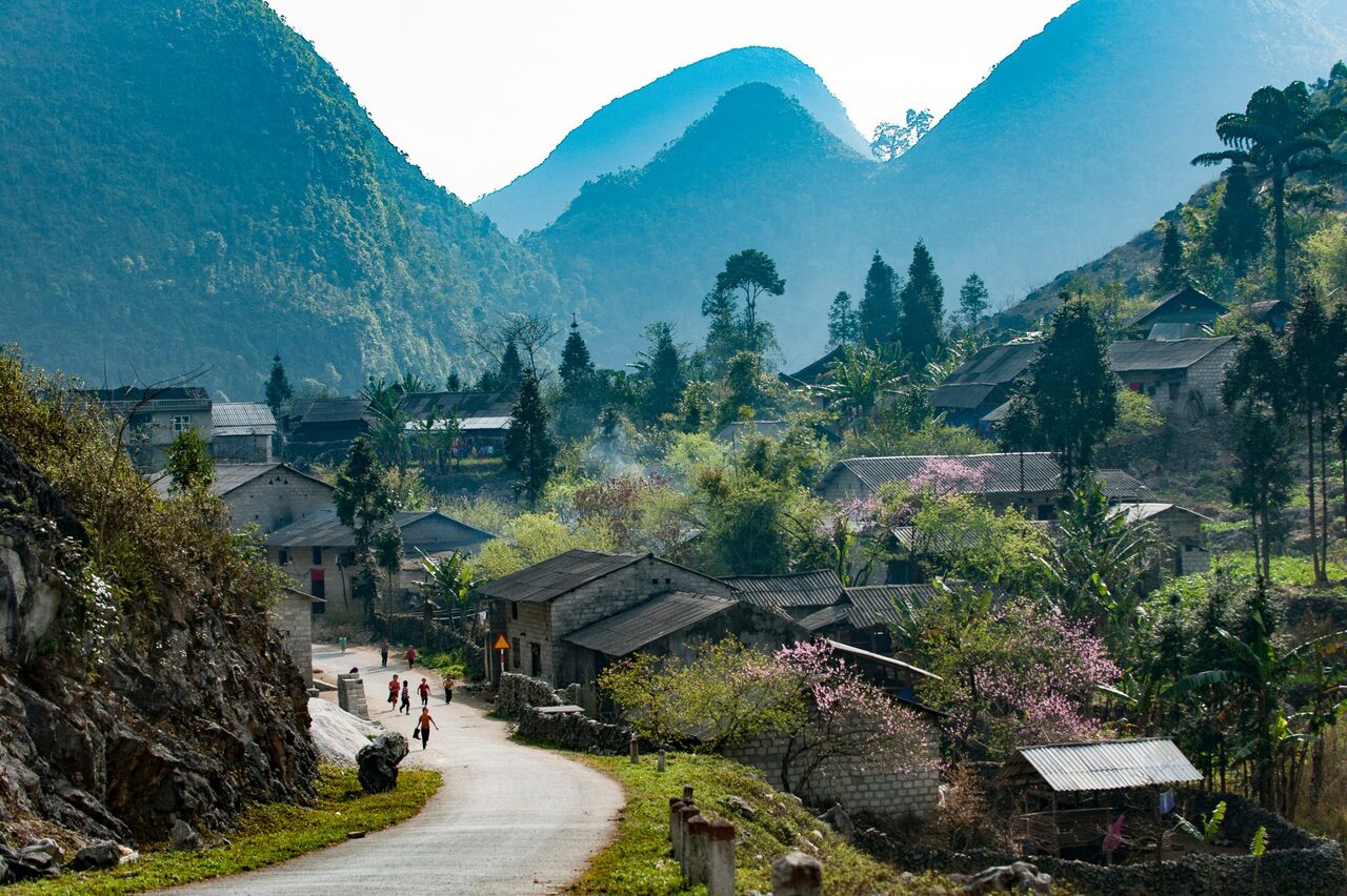
Peaceful Yen Minh Town
Yen Minh has 16 ethic minorities such as: Mong people, Dao people, Tay , Nung, Bo Y, Pu Peo, Giay people…living around with various of unique cultural features.
There are some places for visitors to visit like: Na Luong Cave- one of scenic spots of the province, the artistic architecture of the French garrison, the wall of Lung Ho, the revolutionary base of Co Cai cave…
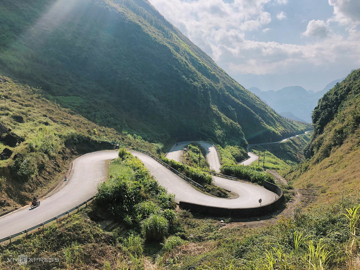
Famous Tham Ma Slope – on the way to Yen Minh
Dong Van – Meo Vac
Dong Van plateau is one of the special limestone areas of Viet Nam, which contains typical imprints of the development history of the earth’s crust because it has up to 80% of the limestone outcrop, formed and developed from hundreds of million years ago.
Take some time in the morning going to the fair of the ethnic people here, a regional feature that you can not find anywhere in the low lands. The fair is busy with many items, from common things of the Kinh people such as electronics, vegetables, clothes… to ethnic specialties such as linen, brocade, buckwheat cakes, and Thang Co. ..
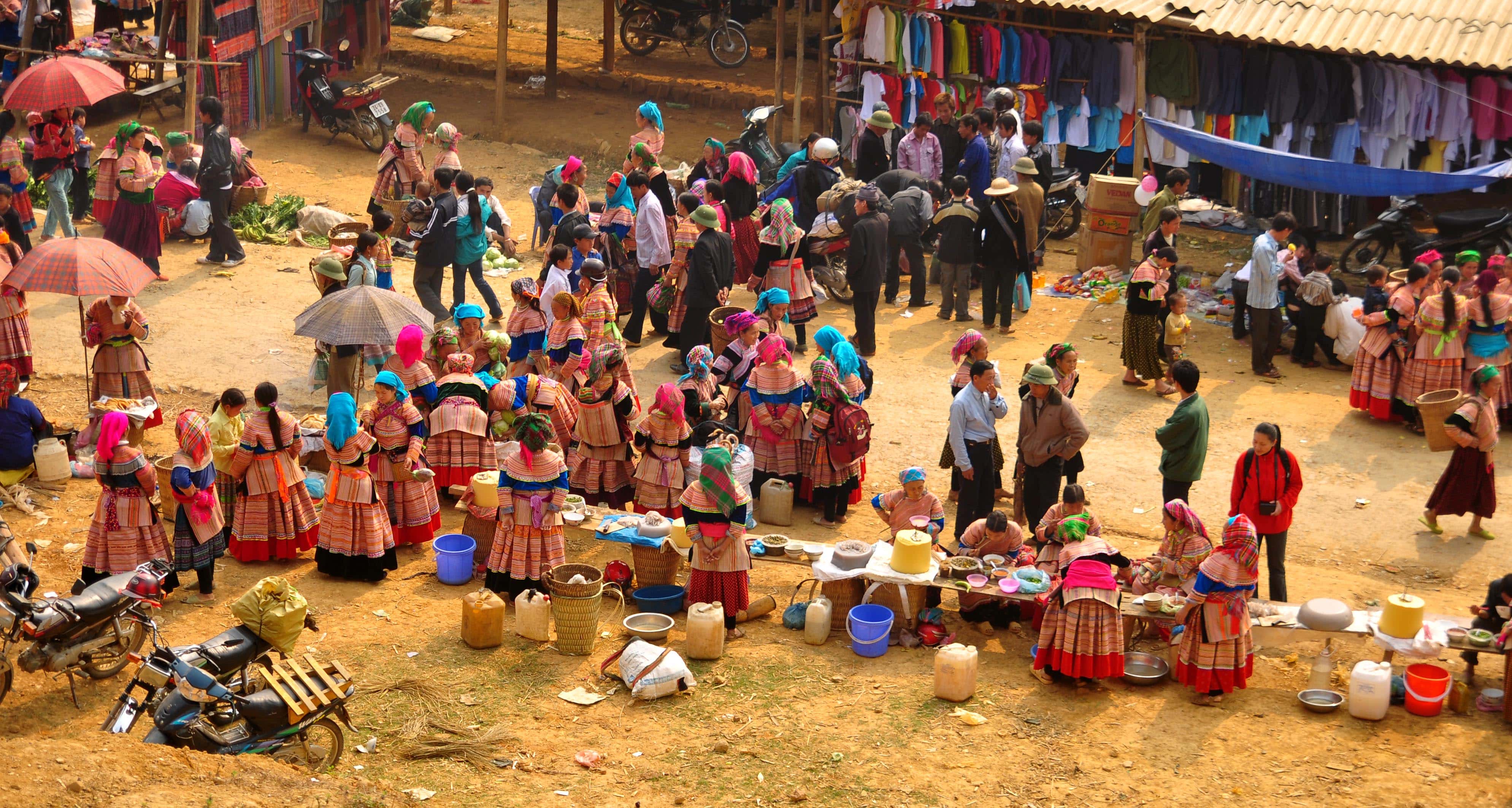
Fair of ethnic minority people in Ha Giang
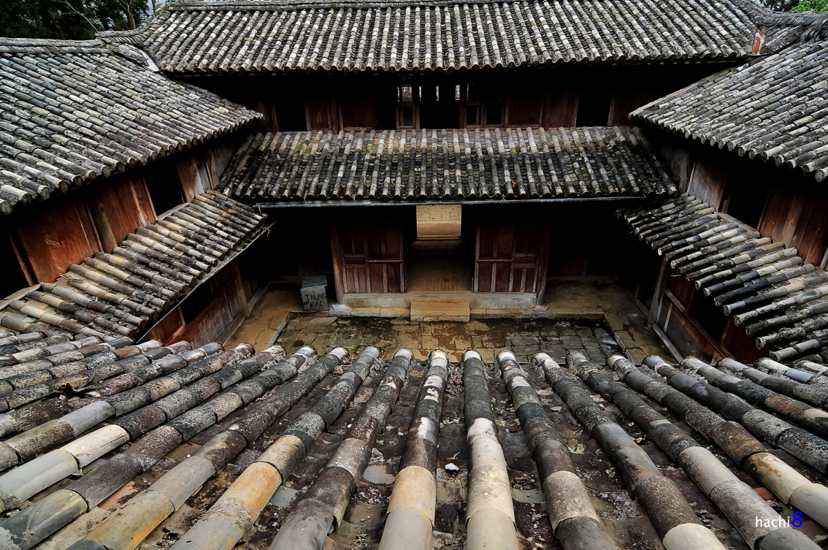
Meo King’s Palace.
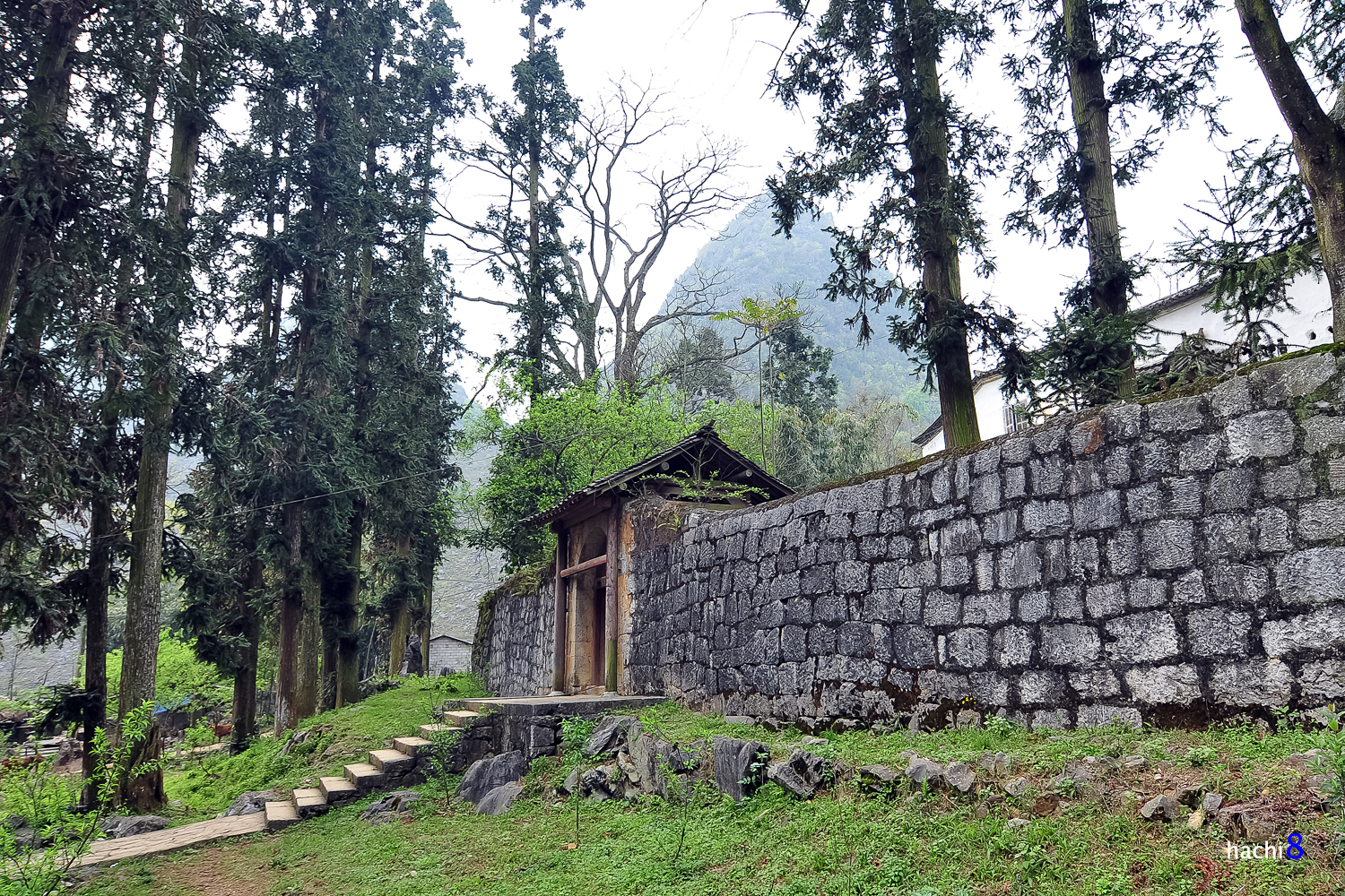
The campus of the relic site is nearly 3 hectares wide, located in the valley of Sa Phin commune. The Meo King Palace was built in the early 20th century, modeled on Chinese architecture (Manchu Dynasty) with curves, curves, and sophisticated carvings.
Meo King’s Palace from the high
The most beautiful time of Dong Van and the most beautiful places you want to visit the most are buckwheat flower fields. Buckwheat flower is like a “specialty” here that no one does not know. Depending on the time of planting, the flowers will bloom in late October or early November. When they first bloom, the flowers are pure white, then turn pale pink, purple and finally dark red.
Lung Cu Flag Pole
It is 25km from Dong Van to Lung Cu, where you can watch Lung Cu Flag pole which representing the national flag pole. You must go through many bad sections with crushed stone, steep crabs, potholes, … Travel time is about 1 and a half hours. Arriving there, visitors climb to the flagpole and see the mountains and forests from the top of the country, and also you can see through the land of neighbor country of China.

Lung Cu Flag Pole – remarks the north pole of Viet Nam
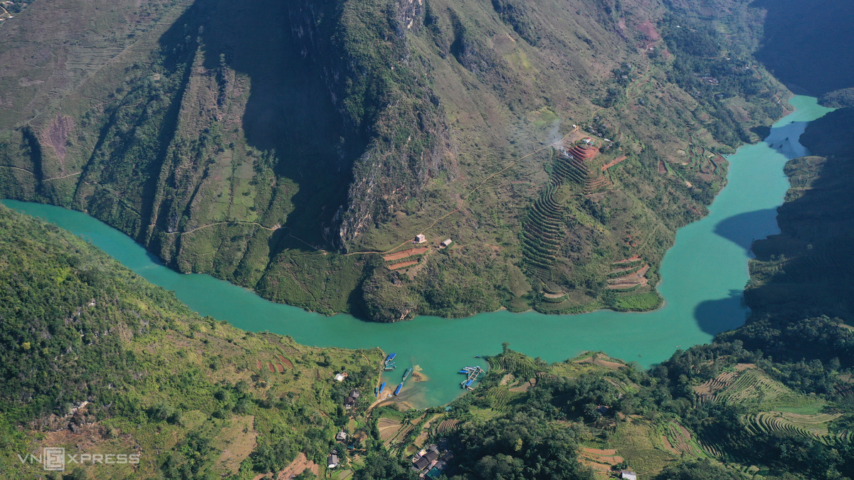
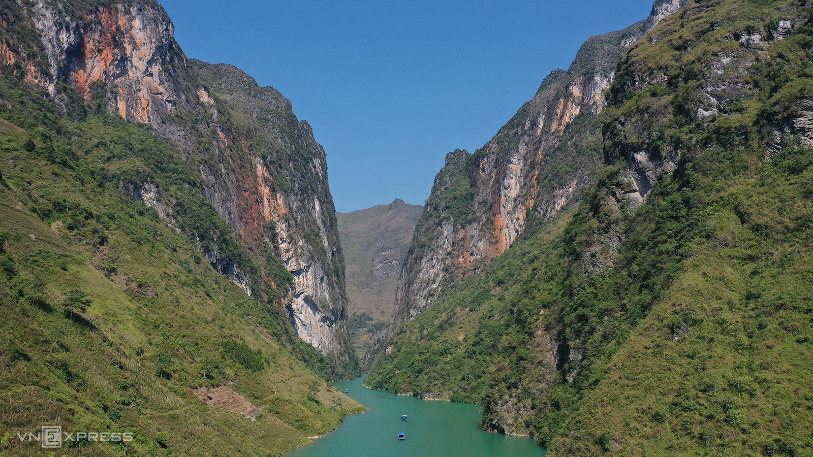
Ma Pi Leng Pass.
Although the pass is winding but wide and flat, one side is a mountain and the other is a cliff.
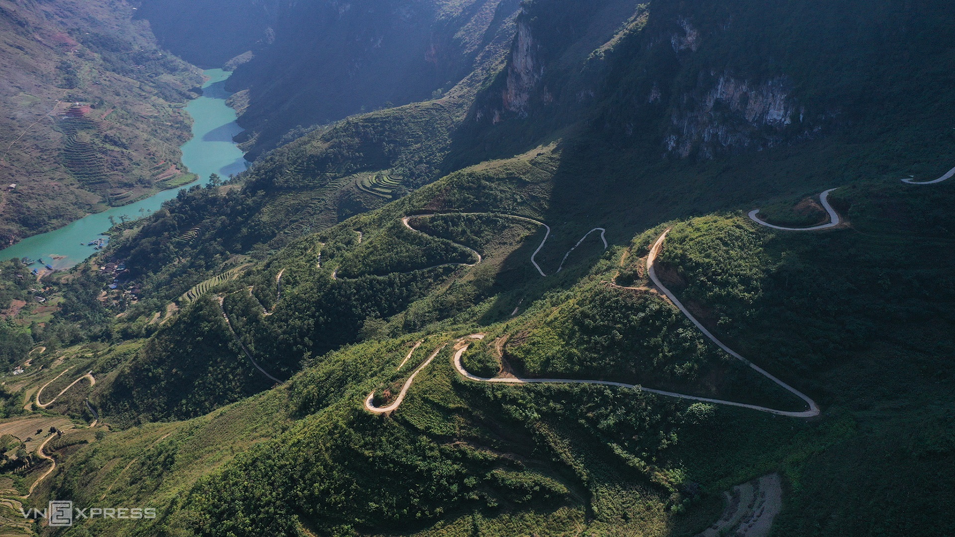
Ma Pi Leng Pass
Surrounding the pass is the sky, clouds and mountains, so visitors can leisurely admire the scenery and take pictures. At the foot of the pass, you visit the Museum of Happiness Road, learn about the difficult construction history of National Highway 4C, from Ha Giang city to Dong Van, Meo Vac.
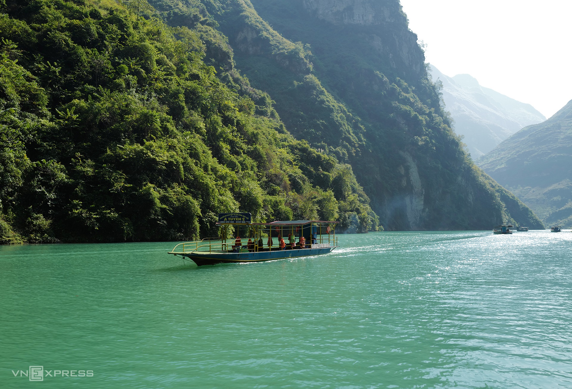
Several impressive and imposing of Ha Giang
default
default

default
Sources: Collection & Vnexpress’ photos
Cusines of Ha Giang:
Ha Giang – The northpole of Viet Nam


